Explore. Virtually. Anywhere.
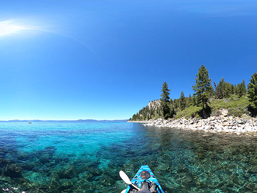
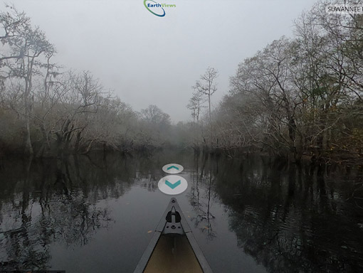
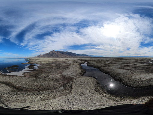
EarthViews builds a custom 360° "StreetView" of YOUR location. View the AtlasCustom GIS Solutions
EarthViews is your easy button for 360° virtual maps. Your Maps. Your Way.
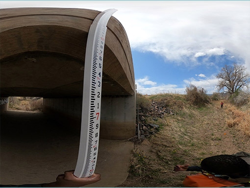
Environmental Engineering Solutions
Add EarthViews’ mapping as a bolt-on tool for pre-work site assessments, virtual walk-throughs of infrastructure surveys, or client outreach.
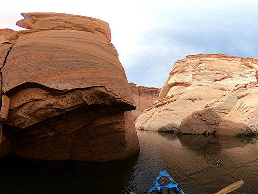
Conservation Solutions
Create a virtual site visit for grant funding applications, engage decision makers and the community in restoration efforts, and preserve a digital historical record of current environmental conditions.
How It Works
Our process from concept to post-launch support.
Location
You choose your location, route and frequency.
Data Collection
Together we determine which data and collection methods are best for your project.
Data Processing
We process the imagery and GIS data to create your custom virtual 360° map.
ArcGIS Integration
We integrate with Esri’s powerful ArcGIS tools to enhance your message.
Deployment
We publish and host your map via EarthViews’ platform for you to use and share from anywhere.
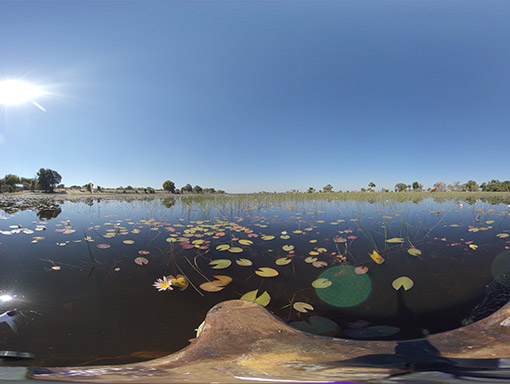
Okavango Delta
Join the National Geographic 2019 Explorers of the Year as they record the conditions along the Okavango Delta, one of the most remote locations on the planet.
where would you like to go next?
Contact us to create your next map.
